Home / About Us
ABOUT THE CONFERENCE

Mapping Tomorrow

Innovation, Impact and Purpose in GIS

BACKGROUND & RATIONALE

Why this conversation matters

Geographic Information Systems (GIS) have transformed the way we understand, visualize, analyze, and manage our world. The supplied conference document describes GIS as an interdisciplinary framework connecting location-based data with technology, science, policy, and decision-making.

It also highlights the rapid development of Remote Sensing, Earth Observation, Artificial Intelligence, Machine Learning, GeoAI, Geographic Positioning Systems, Web GIS, cloud computing, Big Data, and real-time geospatial technologies.

Against this backdrop, SDG Foundation proposes this International Online Conference on the occasion of GIS Day under the theme “Mapping Tomorrow: Innovation, Impact and Purpose in GIS”.
OBJECTIVES

Ten conference objectives

01
Provide an international platform for sharing recent developments, innovations, and applications in GIS and geospatial technologies.
02
Explore the integration of GIS with Remote Sensing, Earth Observation, AI, Machine Learning, GeoAI, Big Data, and emerging digital technologies.
03
Examine the contribution of geospatial technologies to the Sustainable Development Goals (SDGs).
04
Promote the use of GIS for evidence-based planning, governance, policy formulation, and decision-making.
05
Highlight innovative applications of GIS in environmental management, climate resilience, disaster risk reduction, agriculture, health, urban development, and rural transformation.
06
Encourage interdisciplinary collaboration among researchers, academic institutions, government agencies, industries, NGOs, and development organizations.
07
Promote knowledge exchange between established GIS professionals, early-career researchers, students, and emerging geospatial practitioners.
08
Discuss opportunities and challenges associated with open geospatial data, spatial data infrastructure, digital inclusion, data ethics, and responsible use of geospatial technologies.
09
Encourage community-oriented and participatory approaches to mapping and spatial decision-making.
10
Explore the future direction of GIS and its role in creating a more sustainable and resilient society.
WHO SHOULD PARTICIPATE?

A cross-disciplinary community

  • Academicians and researchers
  • GIS and Remote Sensing professionals
  • Geographers and environmental scientists
  • Urban and regional planners
  • Disaster-management professionals
  • Development practitioners
  • Government and policy professionals
  • NGOs and civil-society organizations
  • Data scientists and AI/ML professionals
  • Industry and technology professionals
  • Independent researchers and mapping enthusiasts
CONFERENCE FOCUS

Innovation · Impact · Purpose

The theme is built around three interconnected dimensions of contemporary GIS: exploring emerging technologies, demonstrating real-world impact, and ensuring that technological advancement contributes meaningfully to sustainable development and the SDGs.

Explore Themes →
OUR TEAM

Organizing Committee

Conference leadership and the Scientific & Technical Committee are presented here as part of the About Us page.

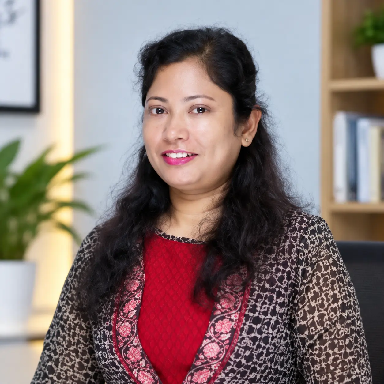
Prof. Brototi Biswas
Patron

Prof. Brototi Biswas

Professor, Dept. of Geography & RM, Mizoram University, Mizoram · President, SDG Foundation

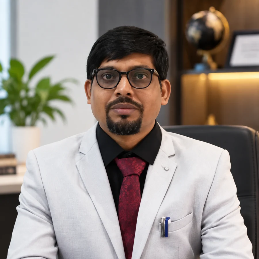
Dr. Jayanta Das
Convener

Dr. Jayanta Das

Asst. Professor, Rampurhat College, W.B. · General Secretary, SDG Foundation

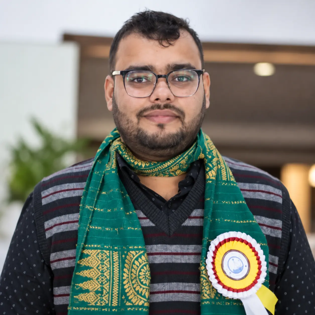
Dr. Kuldeep Goswami
Co-Convener

Dr. Kuldeep Goswami

Asst. Professor, Dibrugarh University, Assam · Vice-President, SDG Foundation

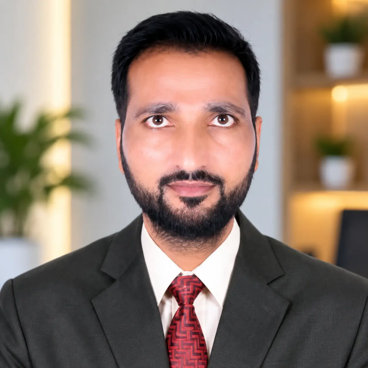
Dr. Md. Suhail Meer
Co-Convener

Dr. Md. Suhail Meer

Asst. Professor, SIMATS, Saveetha University, Chennai · Programme Secretary, SDG Foundation

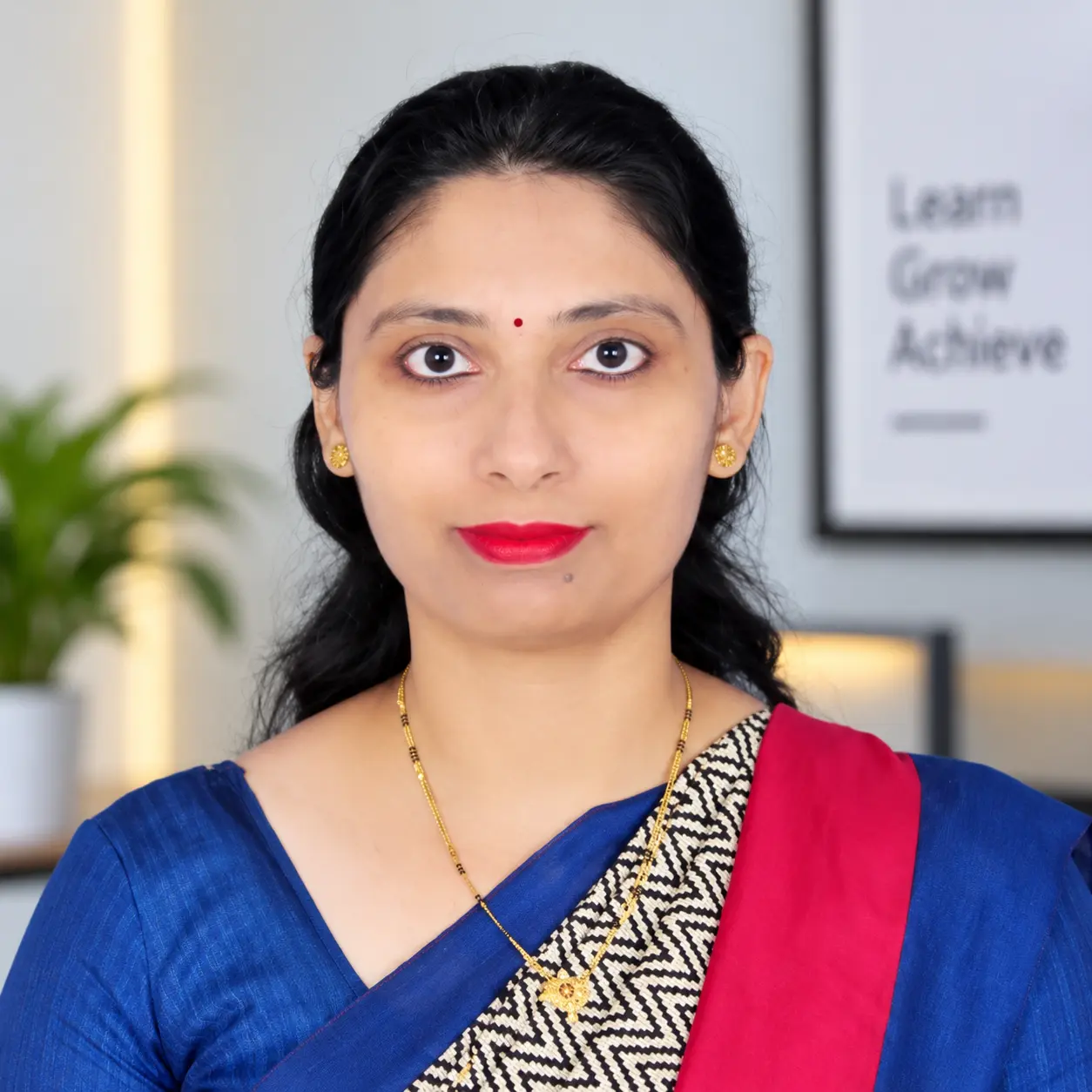
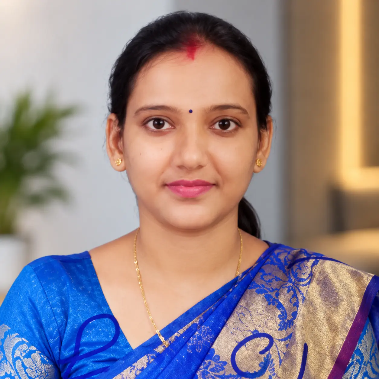
Mrs. Gayatri Mawale
Organizing Secretary

Mrs. Gayatri Mawale

Asst. Professor, AISSMS IOIT, Pune · SDG Foundation

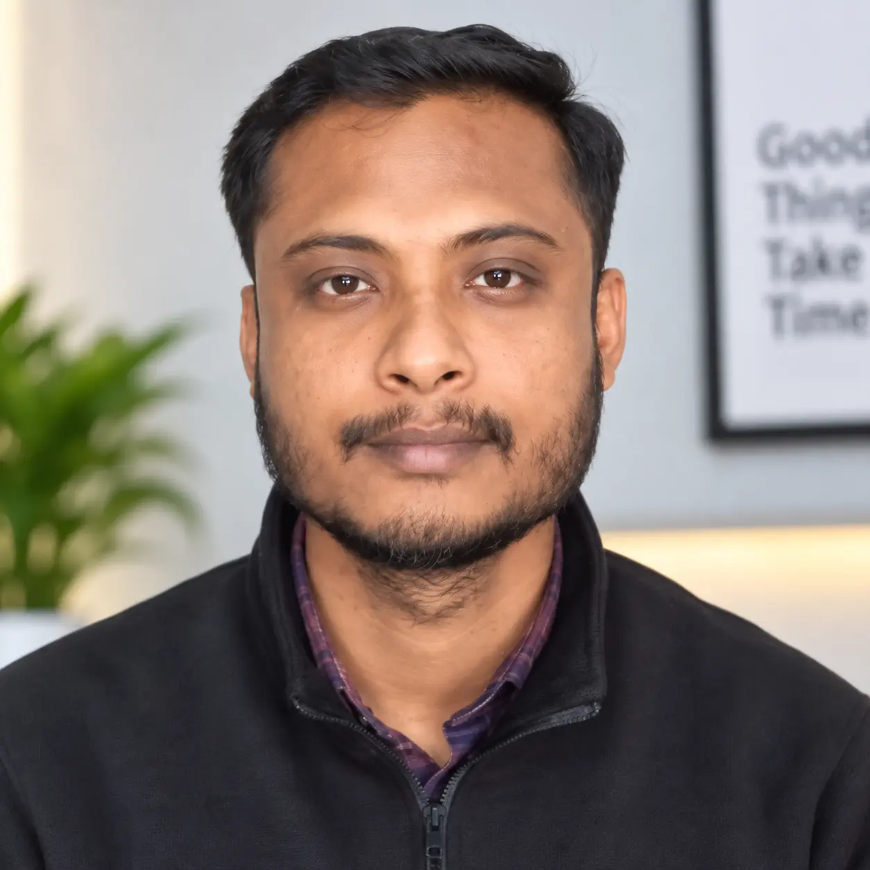
Mr. Shyamlochan Bora
Publicity Secretary

Mr. Shyamlochan Bora

Asst. Professor, D.D.R. College, Dibrugarh, Assam · SDG Foundation

Ms. Piu Saha
Treasurer

Ms. Piu Saha

Research Scholar, North Bengal University, W.B. · SDG Foundation

SCIENTIFIC & TECHNICAL COMMITTEE

Committee Members

  1. Dr. Chandramallika Biswas — HOD, Assistant Professor, Department of Geography, Tarakeswar Degree College
  2. Mr. Asraful Alam — Assistant Professor, Department of Geography, Rampurhat College
  3. Mr. Chhanu Sutradhar — Assistant Professor, Department of Geography, PD Women's College, West Bengal
  4. Dr. Aneesah Rahaman — Remote Sensing Project Scientist (MGNREGA Project), National Institute of Rural Development and Panchayati Raj, Hyderabad
  5. Dr. Indrajit Poddar — Scientist, SDG Foundation
  6. Mr. Subrata Maity — Scientist, SDG Foundation
  7. Dr. Jonmenjoy Barman — Scientist, SDG Foundation
  8. Mr. Rajarshi Sarkar — Project Associate, SDG Foundation
  9. Mr. Sourav Goswami — Project Associate, SDG Foundation
  10. Mr. Rick Sarkar — Field Investigator, SDG Foundation
  11. Mr. Rony Sk — Field Investigator, SDG Foundation
  12. Ms. Junmoni Saikia — Research Scholar, Dibrugarh University
  13. Mr. Rishabh Chakravarty — Research Scholar, Dibrugarh University
  14. Ms. Antariksha Tamuly — Research Scholar, Dibrugarh University
  15. Ms. Tzudina Zamir — Research Scholar, Dibrugarh University