GIS DAY 2026 · 1ST INTERNATIONAL CONFERENCE (ONLINE)
Mapping Tomorrow:Innovation, Impact and
Purpose in GIS
MIP-GIS 2026 brings researchers, academics, GIS professionals, policymakers, students, technology experts and community organizations together for knowledge exchange around geospatial innovation and sustainable development.
2 DaysOnline conference
10 ThemesGIS & geospatial topics
InternationalResearch & knowledge exchange
300 WordsMaximum abstract length
31 OctAbstract deadline
ABOUT MIP-GIS 2026
From maps to meaningful action.
“Mapping Tomorrow: Innovation, Impact and Purpose in GIS”
GIS has evolved into an interdisciplinary framework connecting location-based data with technology, science, policy and decision-making. The conference explores how geospatial technologies can support a more sustainable, inclusive, resilient and equitable future.
Explore the Conference →THE CONFERENCE FOCUS
Innovation. Impact. Purpose.
The theme brings together emerging technologies, real-world applications and the role of geospatial science in sustainable development.
01
Innovation
Emerging technologies, methodologies, platforms and analytical approaches shaping the future of GIS.
02
Impact
Geospatial technologies addressing real-world challenges and supporting evidence-based decisions.
03
Purpose
Technology contributing meaningfully to sustainable development, environmental stewardship, social well-being and the SDGs.
OBJECTIVES
What the conference seeks to achieve
Ten objectives define the research, knowledge-exchange and application focus of MIP-GIS 2026.
01
Provide an international platform for sharing recent developments, innovations, and applications in GIS and geospatial technologies.
02
Explore the integration of GIS with Remote Sensing, Earth Observation, AI, Machine Learning, GeoAI, Big Data, and emerging digital technologies.
03
Examine the contribution of geospatial technologies to the Sustainable Development Goals (SDGs).
04
Promote the use of GIS for evidence-based planning, governance, policy formulation, and decision-making.
05
Highlight innovative applications of GIS in environmental management, climate resilience, disaster risk reduction, agriculture, health, urban development, and rural transformation.
06
Encourage interdisciplinary collaboration among researchers, academic institutions, government agencies, industries, NGOs, and development organizations.
07
Promote knowledge exchange between established GIS professionals, early-career researchers, students, and emerging geospatial practitioners.
08
Discuss opportunities and challenges associated with open geospatial data, spatial data infrastructure, digital inclusion, data ethics, and responsible use of geospatial technologies.
09
Encourage community-oriented and participatory approaches to mapping and spatial decision-making.
10
Explore the future direction of GIS and its role in creating a more sustainable and resilient society.
CONFERENCE THEMES
Ten pathways for geospatial knowledge
Original research papers, review papers, case studies, innovative applications, field-based work and conceptual contributions are welcomed across these themes.
THEME 01
GIS and Geospatial Innovation
Advances in GIScienceSpatial databases and spatial analysisMobile GIS, Web GIS and Cloud GIS3D GIS and Digital Twins
THEME 02
GeoAI and Emerging Technologies
Artificial Intelligence and GISMachine Learning for spatial analysisDeep Learning and geospatial applicationsGenerative AI and geospatial science
THEME 03
Remote Sensing and Earth Observation
Satellite-based environmental monitoringMultispectral and hyperspectral remote sensingUAV/drone-based mappingLiDAR and 3D mapping
THEME 04
GIS for Climate Change and Environmental Sustainability
Climate vulnerability and risk assessmentClimate-change impact mappingEnvironmental monitoringEcosystem and biodiversity assessment
THEME 05
Disaster Risk Reduction and Resilience
Flood hazard and vulnerability mappingLandslide susceptibility assessmentCyclone and coastal-risk mappingDrought monitoring
THEME 06
GIS for Sustainable Cities and Rural Development
Smart cities and smart villagesUrban growth and land-use planningRural development planningVillage-level GIS
THEME 07
GIS, Agriculture, Food and Water Security
Precision agricultureAgricultural suitability analysisCrop monitoringSoil and water-resource mapping
THEME 08
GIS, Health and Social Well-being
Health geographySpatial epidemiologyHealthcare accessibilityEnvironmental health
THEME 09
GIS for SDG Localization and Development Planning
Geospatial approaches to SDG monitoringLocalizing the SDGsSpatial indicators for sustainable developmentGIS for evidence-based policy
THEME 10
Ethics, Equity and the Future of GIS
Geospatial data privacyData ethics and responsible GISDigital divide and geospatial inclusionIndigenous and community knowledge
IMPORTANT DATES
Key milestones
Keep track of the conference timeline.
16 Sep 2026Conference Announcement & Call for Abstracts
16 Sep 2026Abstract Submission Opens
15 Oct 2026Early-Bird Registration Deadline
31 Oct 2026Abstract Submission Deadline
7 Nov 2026Final Registration Deadline
17–18 Nov 2026Conference Days (Online)
After the ConferenceCertificate & Conference Proceedings/Outcome
COUNTDOWN
Conference begins in
Conference dates: 17–18 November 2026
Online international conference on GIS Day.
View Programme →Online international conference on GIS Day.
RESOURCE PERSONS
Research voices from across regions
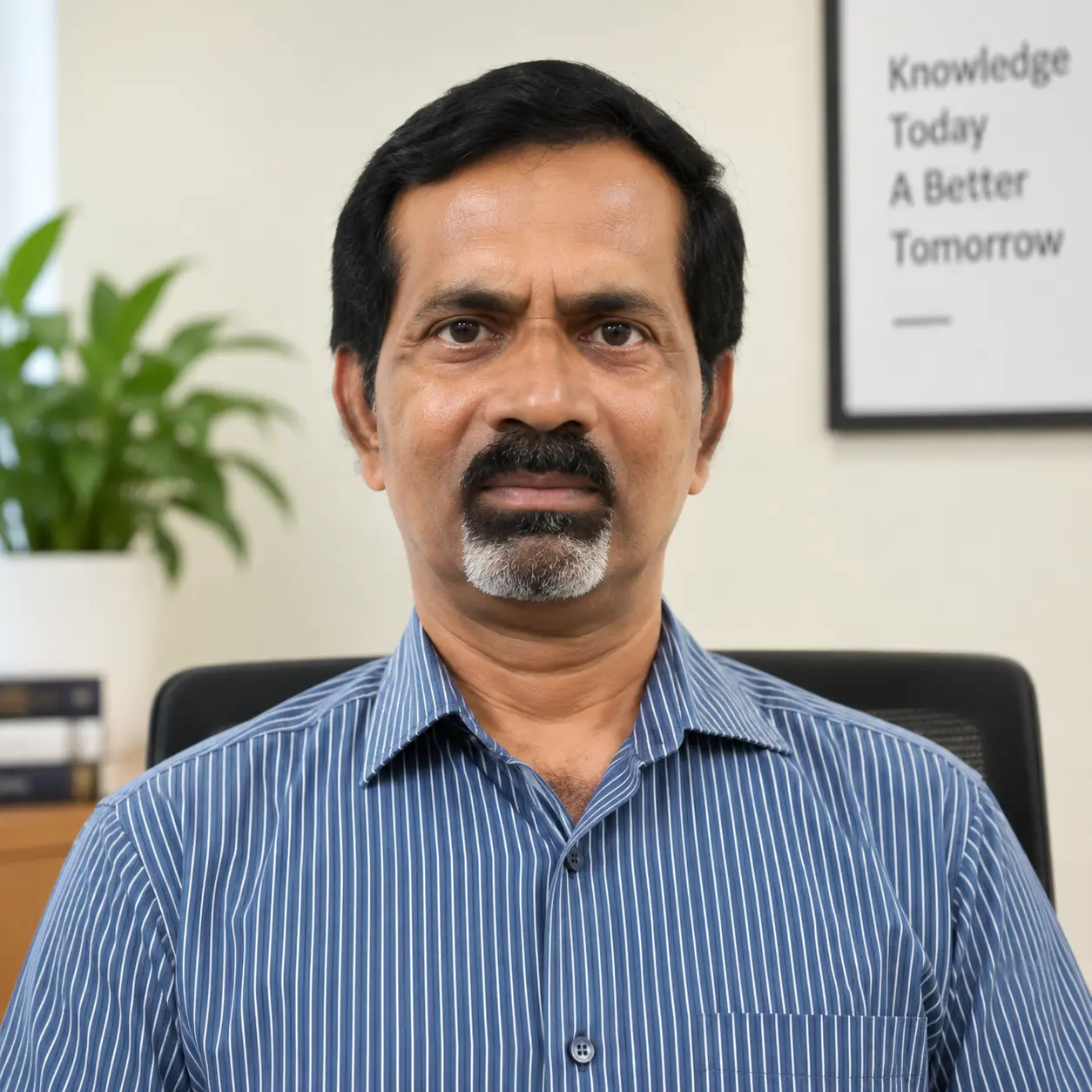
Keynote Speaker
Prof. Debi Prasanna Kanungo
Chief Scientist & Professor (AcSIR)
CSIR, Roorkee, India

International Resource Person
Prof. Quoc Bao Pham
Professor, Faculty of Natural Sciences, Institute of Earth Sciences
University of Silesia in Katowice, Poland
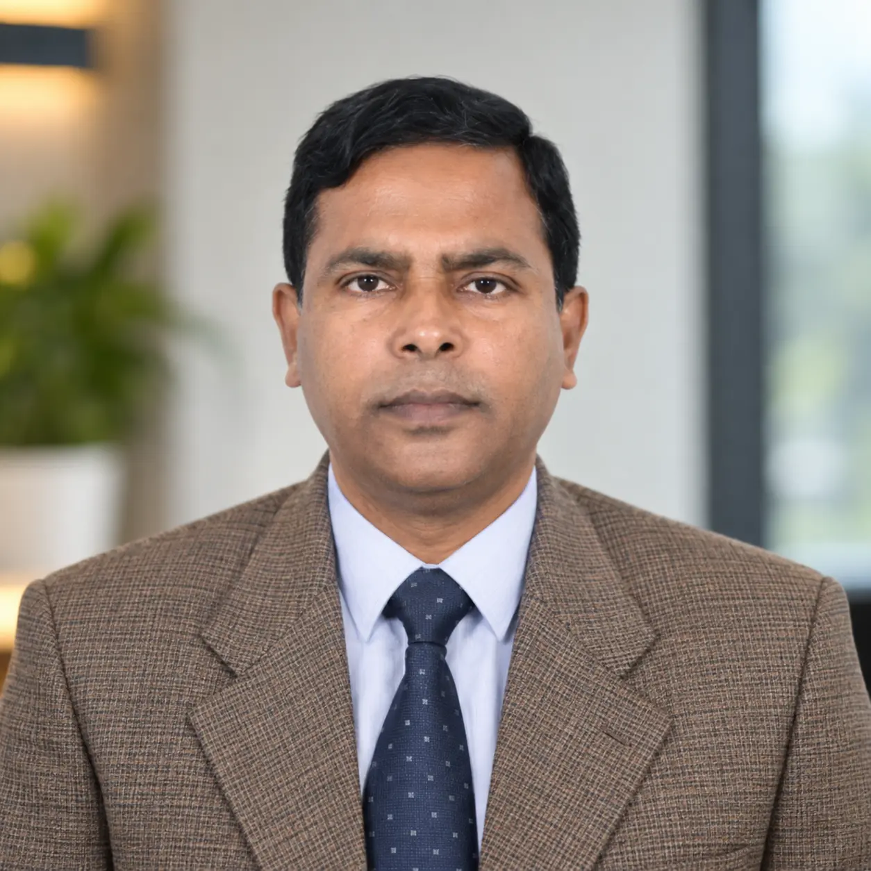
International Resource Person
Prof. Md. Kamruzzaman
Professor, Institute of Bangladesh Studies
University of Rajshahi, Rajshahi, Bangladesh
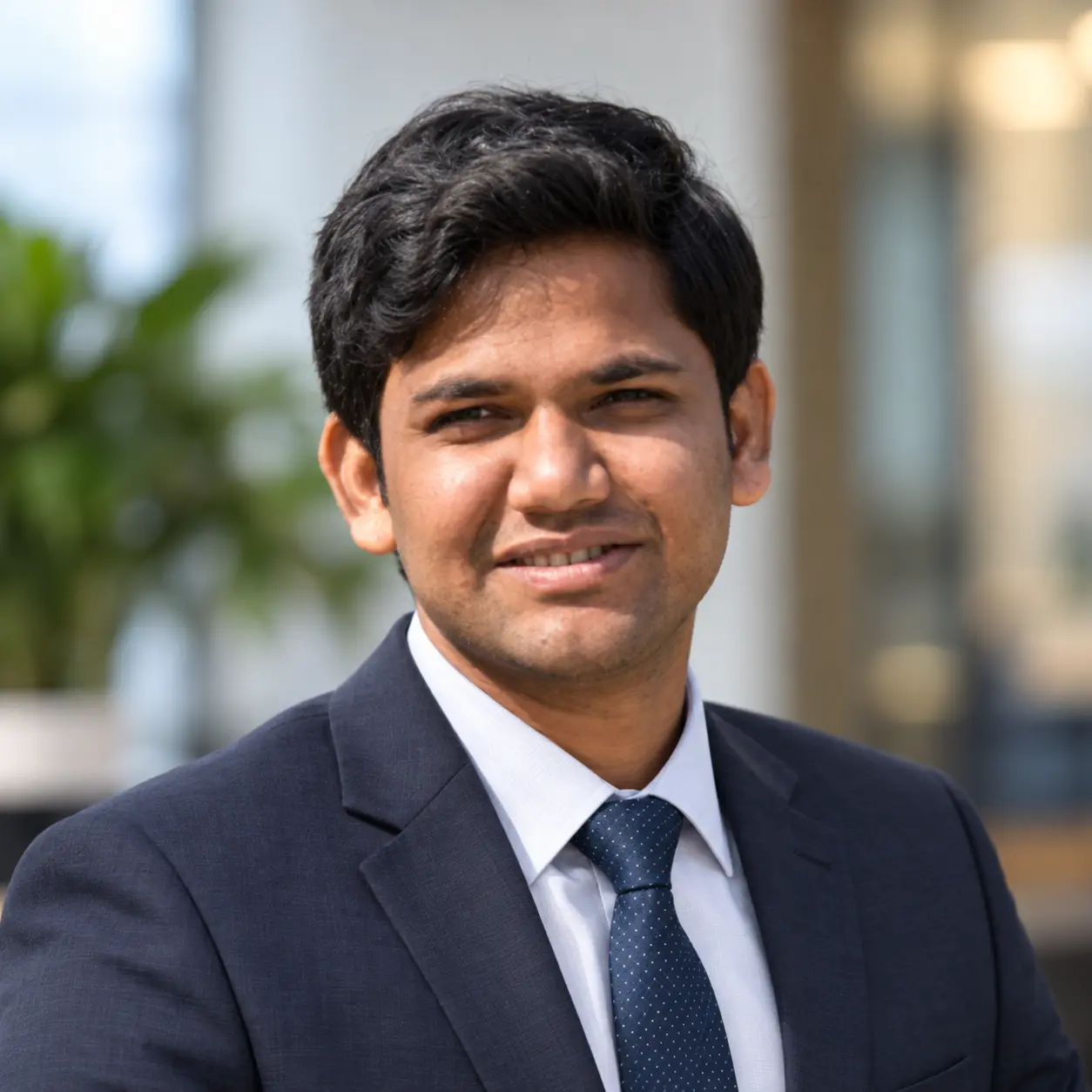
International Resource Person
Dr. Satiprasad Sahoo
Water Resource Engineer
International Center for Agricultural Research in the Dry Areas (ICARDA), Egypt
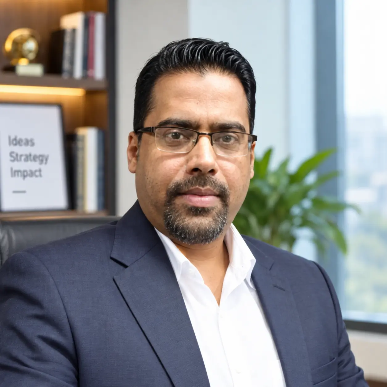
International Resource Person
Dr. Ajit Govind
Senior Scientist, Department of AgroEcosystem
INRAE, France
OUR TEAM
Organizing Committee
Conference leadership and the Scientific & Technical Committee are presented here as part of the About Us page.

Patron
Prof. Brototi Biswas
Professor, Dept. of Geography & RM, Mizoram University, Mizoram · President, SDG Foundation

Convener
Dr. Jayanta Das
Asst. Professor, Rampurhat College, W.B. · General Secretary, SDG Foundation
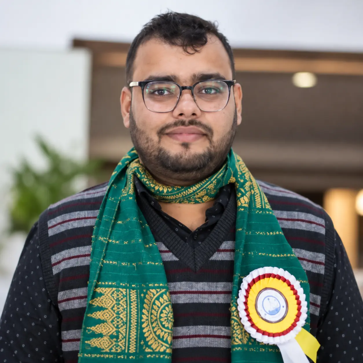
Co-Convener
Dr. Kuldeep Goswami
Asst. Professor, Dibrugarh University, Assam · Vice-President, SDG Foundation
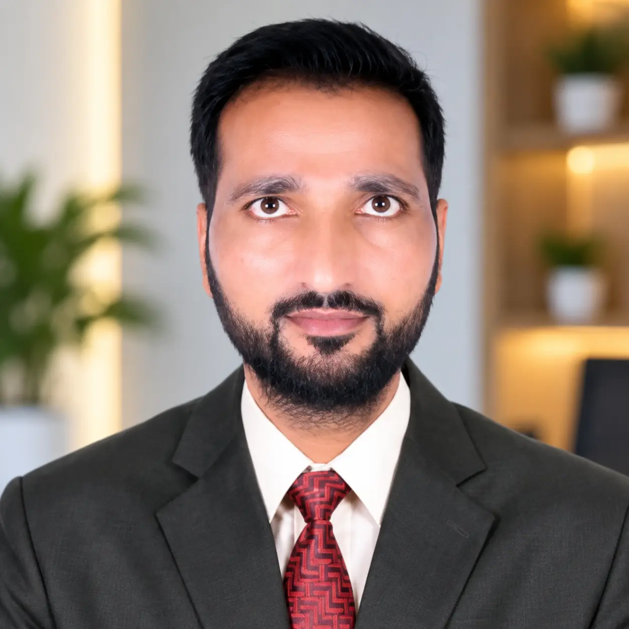
Co-Convener
Dr. Md. Suhail Meer
Asst. Professor, SIMATS, Saveetha University, Chennai · Programme Secretary, SDG Foundation
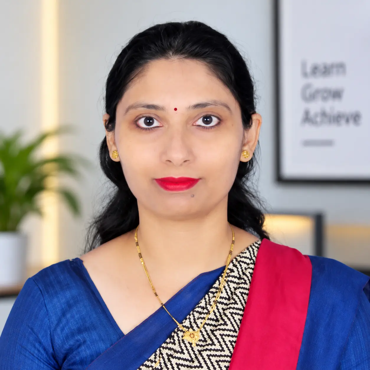
Organizing Secretary
Mrs. Gayatri Mawale
Asst. Professor, AISSMS IOIT, Pune · SDG Foundation

Publicity Secretary
Mr. Shyamlochan Bora
Asst. Professor, D.D.R. College, Dibrugarh, Assam · SDG Foundation
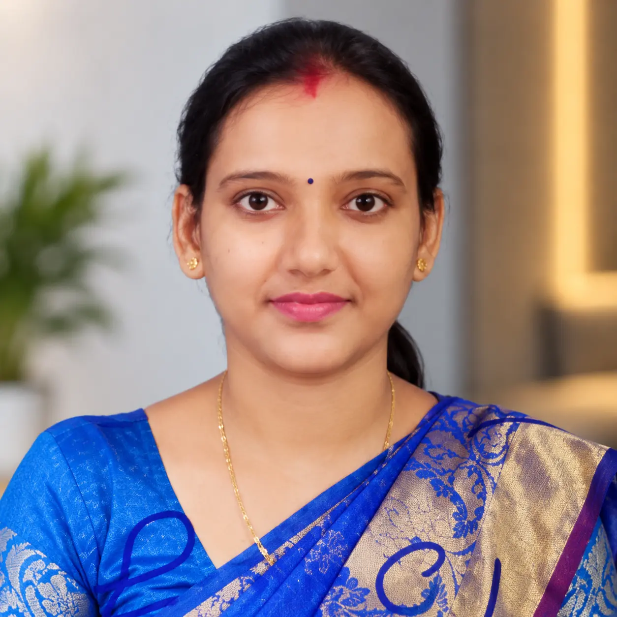
Treasurer
Ms. Piu Saha
Research Scholar, North Bengal University, W.B. · SDG Foundation
SCIENTIFIC & TECHNICAL COMMITTEE
Committee Members
- Dr. Chandramallika Biswas — HOD, Assistant Professor, Department of Geography, Tarakeswar Degree College
- Mr. Asraful Alam — Assistant Professor, Department of Geography, Rampurhat College
- Mr. Chhanu Sutradhar — Assistant Professor, Department of Geography, PD Women's College, West Bengal
- Dr. Aneesah Rahaman — Remote Sensing Project Scientist (MGNREGA Project), National Institute of Rural Development and Panchayati Raj, Hyderabad
- Dr. Indrajit Poddar — Scientist, SDG Foundation
- Mr. Subrata Maity — Scientist, SDG Foundation
- Dr. Jonmenjoy Barman — Scientist, SDG Foundation
- Mr. Rajarshi Sarkar — Project Associate, SDG Foundation
- Mr. Sourav Goswami — Project Associate, SDG Foundation
- Mr. Rick Sarkar — Field Investigator, SDG Foundation
- Mr. Rony Sk — Field Investigator, SDG Foundation
- Ms. Junmoni Saikia — Research Scholar, Dibrugarh University
- Mr. Rishabh Chakravarty — Research Scholar, Dibrugarh University
- Ms. Antariksha Tamuly — Research Scholar, Dibrugarh University
- Ms. Tzudina Zamir — Research Scholar, Dibrugarh University
CALL FOR ABSTRACTS
Share your research with the MIP-GIS 2026 community.
Abstracts are limited to 300 words. The supplied conference material gives 31 October 2026 as the submission deadline.
PUBLICATION PATHWAY
From conference to knowledge archive
The conference material states that presented abstracts will be published in an Abstract Volume and selected papers may be published as proceedings/book or in a journal Special Issue.
01 · BEFORE EVENT
Submit
Abstract → Full Paper → Presentation
02 · AFTER EVENT
Abstract Volume
Create a structured record for each presented abstract.
03 · FUTURE PLATFORM
Proceedings & Papers
Searchable publications, author records and downloadable files.
TECHNICAL PARTNERS
Supporting the conference platform
Advances in Geographical Research (AIGR)
Sun Web Service
MIP-GIS 2026
From Maps to Knowledge. From Knowledge to Action.
From Action to Sustainable Change.